The aerial sightseeing companion for general aviation — a live tour map, shareable flight postcards, and passenger emergency guidance.
Follow along on a live map, learn the story behind every sight, and land with a keepsake worth sharing.

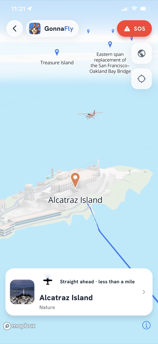
A beautiful moving map tracks your aircraft in real time and calls out the landmarks along your route, so you never miss the view out the window.

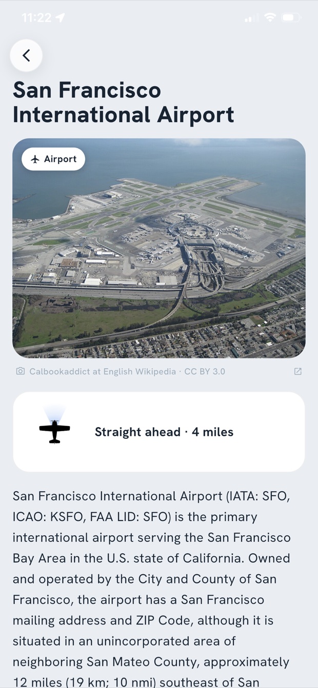
Tap any sight for a photo and the background story — bridges, islands, coastlines and airfields — with distance and direction so you always know where to look.

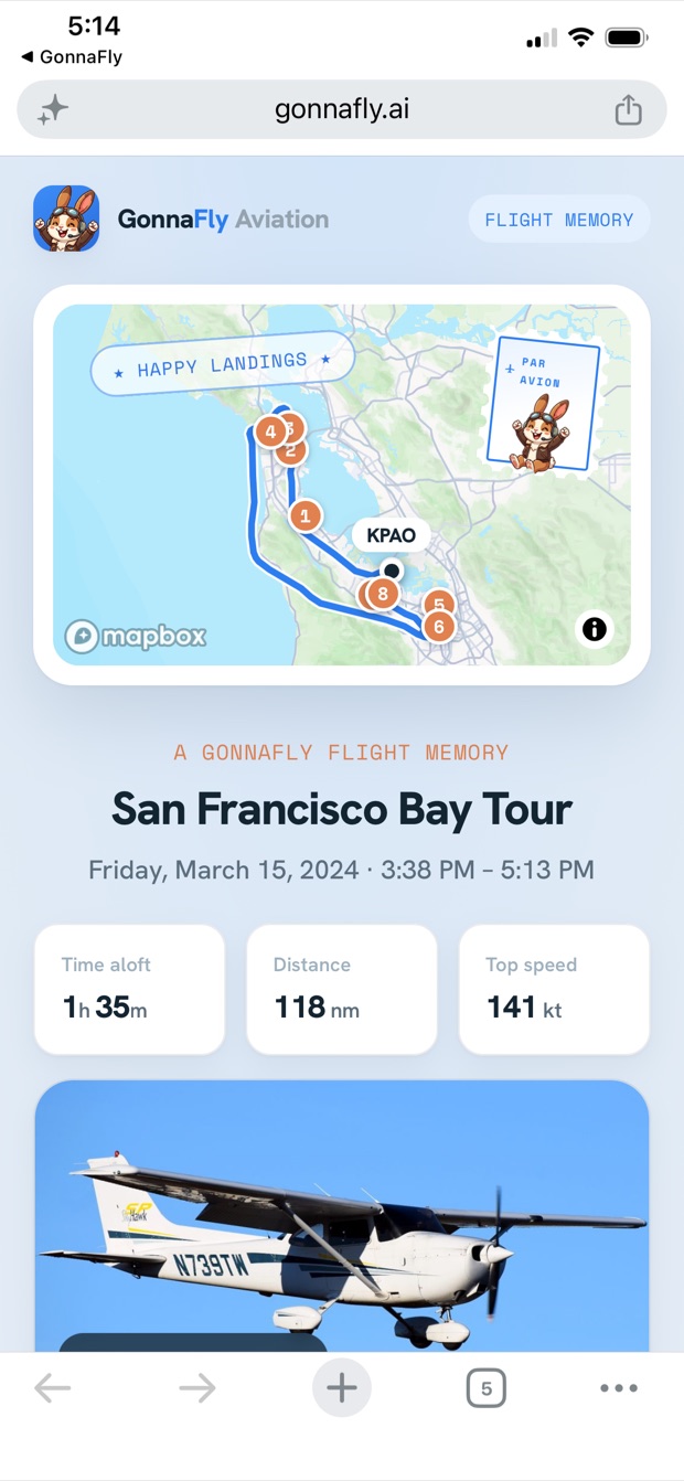
After every flight, GonnaFly creates a personal postcard: your route on the map, the sights you flew past, your pilot and aircraft — ready to share with friends and family.
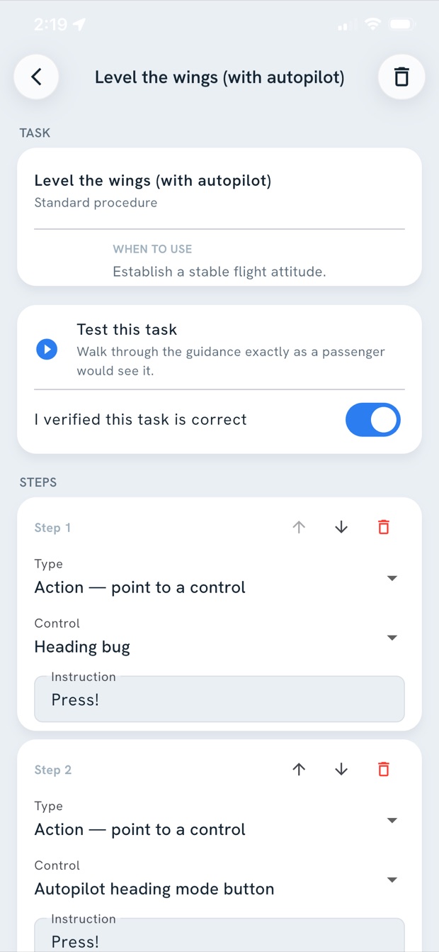
Photograph your panel and GonnaFly's advanced AI will detect avionic units and important controls automatically. Fine-tune, add your own, and build guidance specific to your aircraft.
Invite passengers with a single QR code — no account, no setup. They scan, and the flight loads instantly, even offline at altitude.

Snap a photo of your panel and the app finds the key controls for you. Then build visual, step-by-step instructions — pointing at the real switches and knobs in your aircraft.
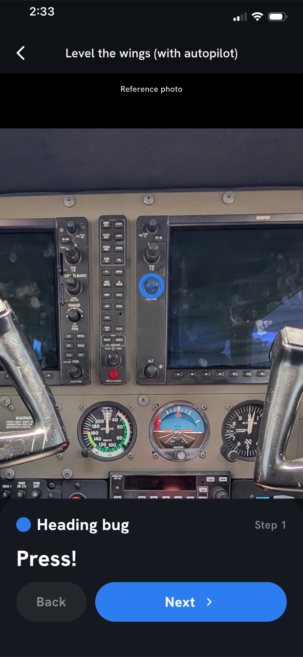
Should a pilot ever become incapacitated, any passenger can open the emergency guide — calm, clear, and specific to the aircraft they're in.

Step-by-step tasks show the actual control to touch — highlighted right in the camera view — plus a Call-for-Help script with the aircraft's current position and nearby airports, so a passenger knows exactly what to say on the radio.
Patent pending
Passengers pay nothing, ever. Pilots unlock cockpit setup and automatic postcards with GonnaFly Pro; flight schools and tour operators run their whole fleet on GonnaFly Max.
Download GonnaFly and turn every trip in a small plane into a story worth telling.